Location: Luková u Přerova
Year: 2013/2014
Visualisation: Jan Hostinský, Jan Mastník, Miroslav Kukrál
A design linking three waterway corridors as a structure at a site of global significance.


In a gently rolling landscape, the canal, especially its embankments and cuttings, acts as an unnatural barrier, a motorway embankment or a defensive rampart. That is how we perceive it from a spot below the slope, based on precedents well known in our country.
The study sets out to present the Danube - Oder - Elbe canal project as a trans-European route. In its significance, its scale and its legacy for future generations, the canal transcends our time and our borders.
Its integration with the landscape, often necessarily a brutal intervention for reasons of feasibility, can be handled typologically with a unifying language in which each part speaks of the significance of the whole; the observer then no longer perceives the embankment as an indeterminate transport structure.
Inspiration
The form of the dialogue between the water surface and the landscape was likened to the phenomenon of a table mountain. Over millennia of development, the natural morphology of the terrain responds to the water level as if to a solid slate slab. The foothills are worn down into a characteristic wave and then rise vertically to meet an edge of precise shape.


Solution
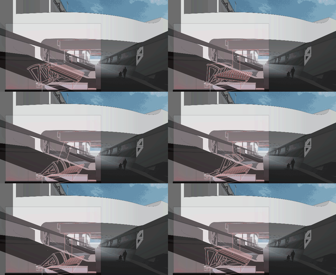
Small height differences of up to five metres along the waterway are overcome by a type of lock which, in its form and technological concept, appears as the youngest member of the whole “family” of the canal’s structures. Here the terrain wave appears only at the front of the lock embankment, interrupted by the head of the flap gates.
The second stage in the evolution of the lock language - for heights of up to fifteen metres - is a partial breach of the front terrain wave by the concrete mass, where we already observe a hint of the terrain yielding. The lock is fitted with vertical-lift gates that look technologically more sophisticated.
The third type comprises locks up to the maximum height, i.e. twenty-five metres, flanked by water-saving basins. The body of the lock and the basins itself is treated as concrete masses cutting through the terrain in giant terrain waves. Metal structures and numerous details of the operating technology grow over the concrete core and describe the scale of its acknowledged monumentality.


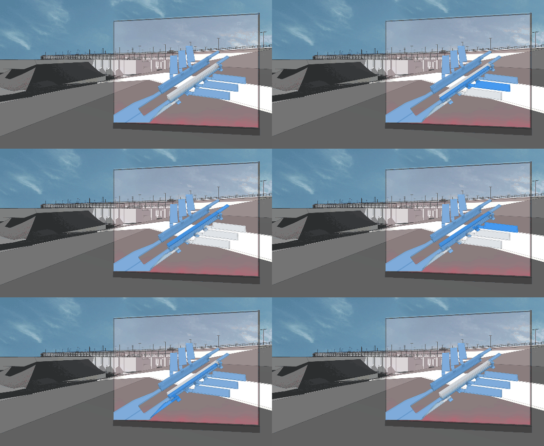
A completely unique type is the pair of locks at the Confluence of Three Seas. Here, twenty-four-metre-high locks rise almost vertically from a long break in the terrain above otherwise flat ground and open out their water-saving basins at an angle as a response to, or rather a completion of, the originally natural embankment behind them.
The pair of locks is designed as a water machine attraction, an open encyclopaedia of hydraulic engineering.


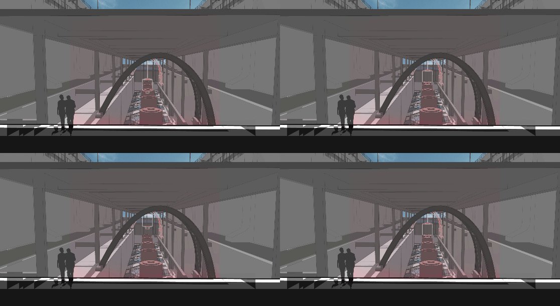
The sheer mass of the two-hundred-and-sixty-metre-long concrete body of the lock towers above the ground at a monstrous size and does not hide its tectonics, its expression. We walk through it and observe above us massive “pipes” with a cross-section of 25m2 emerging from the water-saving basins and plunging behind massive pressure gates that we can touch. One after another, the basins empty and echo around us like an underwater organ. Here we observe and feel the water machine at work.
The “opening out” of the basins is used here for several reasons. The first is the compositional effect within the whole confluence and the adjacent village. The concept for the entire waterway assumes that only one of each pair of locks will be built on the routes at first. The second will perhaps be added only decades later, once the canal is used to full capacity as domestic cargo ports fill up. The second reason is to conceal the operation of the structure and the related service roads between the basins and the body of the lock.
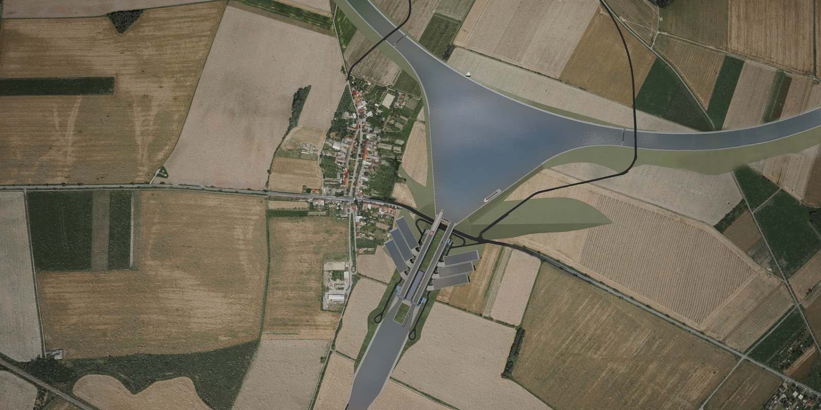
Crossroads of Three Seas
North, Baltic and Black, is a separate element bounded by three gates.
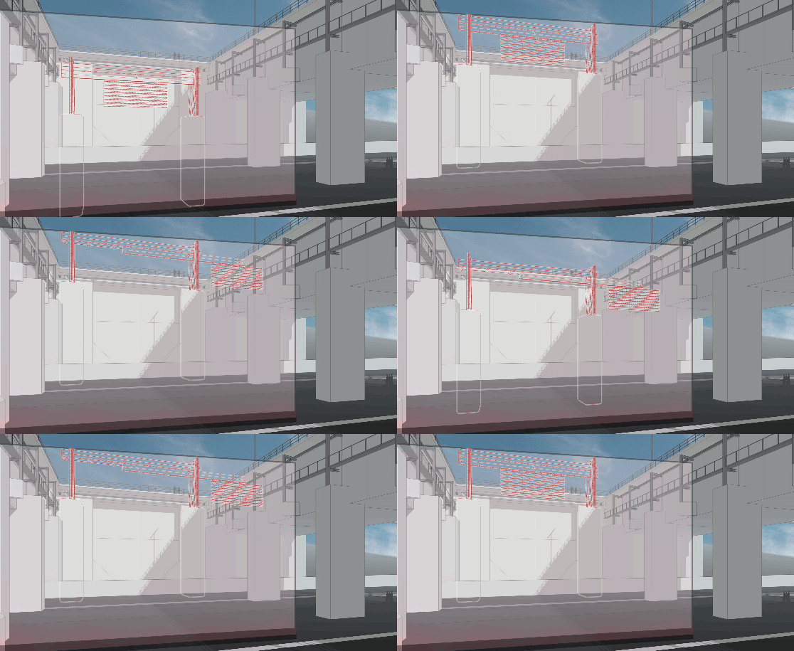
The location resulting from earlier feasibility studies does not allow an equilateral triangle to be inscribed around the confluence, nor does it allow the connecting waterways to be straightened and thereby lend importance to this very place and the adjacent villages near Přerov. The pair of locks of the highest type is connected directly to the confluence by navigable aqueducts. Defining the confluence space with three emergency/service closures is thus also meant to keep the importance of the waterways in balance.
The confluence is designed as a simple, slightly raised platform which most fully develops the idea of the typology in relation to the surrounding terrain. The enclosed area also serves as an occasional mooring and is therefore lit around its perimeter and fitted with street furniture.
Wider context
The aim of treating the surroundings of the confluence was to offer “points of interest”, at least one on each side of the triangle, where the observer is not faced only with an entirely clear-cut situation that would otherwise give them no reason to linger. The entire confluence can be walked around via bridges and cycle paths.
The first of these is the immediately adjacent village of Luková itself, which, in response to the new tourist destination, will be able to provide civic amenities for the entire site. For this reason, and also to avoid undesirable mutual competition, the design does not include any restaurants.
The second is the pair of locks, which is accessible to visitors except for the outer side of the walkable crest. Further attractions include the servicing of the flaps of the water-saving basins and the extension of the semi-automatic temporary barrier where the confluence joins the navigable aqueducts.
The third is a garden “pavilion” on the opposite side of the confluence. A timber structure whose floor plan recalls a heart or a linden leaf provides shelter for refreshments and rest, as well as toilets. Given its more remote location, it is intended mainly for boat and cycle tourism.
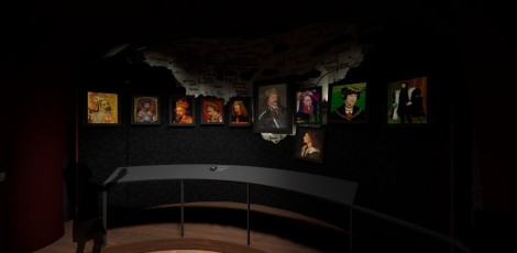
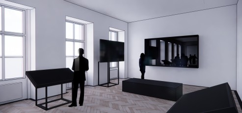
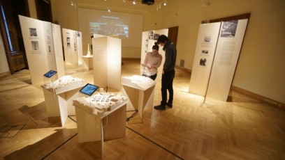
The last place to visit is the car park towards the village on the far side of the locks, adjoined by a partially roofed park - museum of the project with a large relief model of the Czech Republic.
Transport solution
The design takes into account the traffic load on the local road and the particularly demanding connection to the exits of the PK service road during construction by building a temporary road, which, once the works are complete, will be used exclusively as a cycle route.
Greenery
The structure is situated in the middle of fields. Planting trees in the surroundings is not recommended. The stripped topsoil is stored in a massive artificial embankment located to the right of the PK.
Information system
The pair of locks is designed as a water machine attraction, an open encyclopaedia of hydraulic engineering.